
Happy President’s Day! While York County residents can enjoy a relatively mild holiday, a shift in the weather pattern will bring a wintry mix to the area starting Wednesday morning.
According to early forecasts, the first signs of the approaching system will arrive after 9 a.m. Wednesday. A mix of sleet and rain is expected throughout the day, with a possibility of a few snowflakes mixing in.
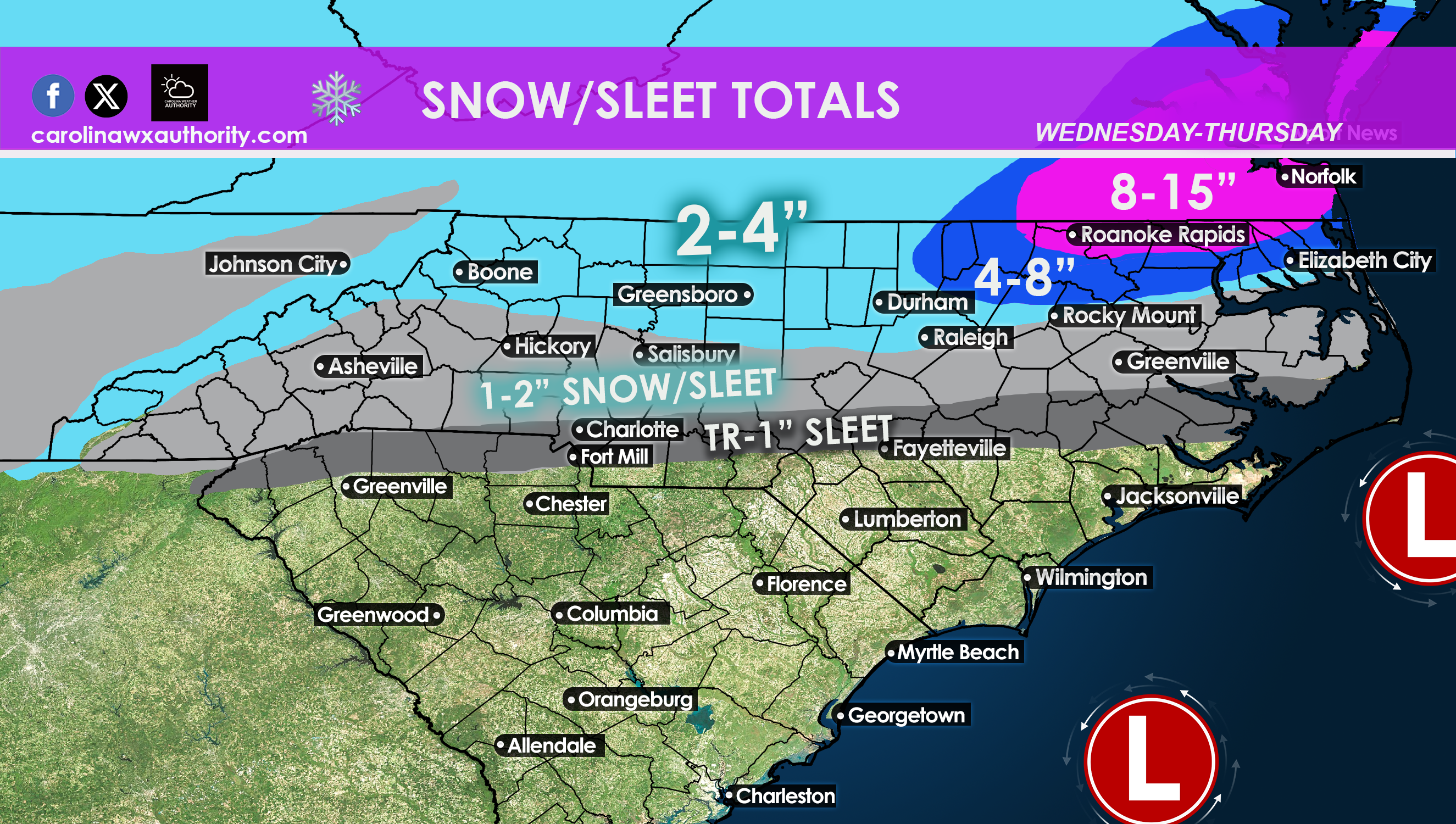
The main concern for York County arises Wednesday night, with the potential for icy conditions due to freezing rain. Snowflakes may also make an appearance. While the precipitation is expected to end by 1 a.m. Thursday, temperatures may hover around freezing, potentially preventing significant accumulation on the ground. However, residents should be aware of the possibility of ice forming on trees, elevated surfaces, and bridges.
The brunt of the storm is expected to impact areas further north, particularly in northern North Carolina, including cities like Greensboro. Southeast Virginia could even face blizzard conditions.
York County residents are advised to stay tuned to local weather updates and exercise caution while traveling on Wednesday and Thursday, particularly on bridges and overpasses.