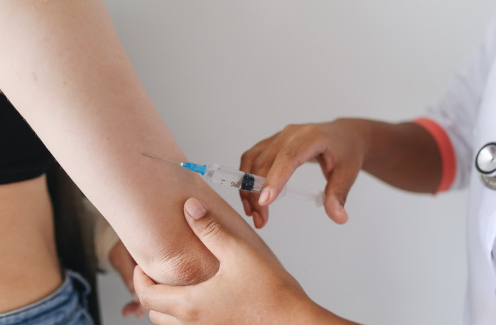
South Carolina DPH Urges Families to Update Vaccinations Before School Year Begins Patrick Byrne13 hours ago
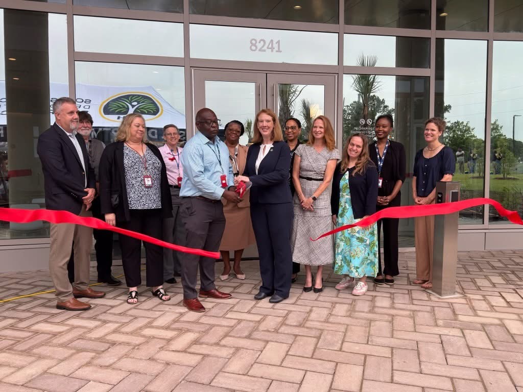
South Carolina Opens New Public Health and Environmental Laboratory in Columbia Thomas Hyslip2 days ago